

Heavy monsoon rains are forecast to strike large portions of the Southwest this weekend, potentially impacting thousands of residents across Arizona, New Mexico and neighboring states.
After a slow start to the North American monsoon season, forecasters say the atmospheric pattern is now intensifying, raising both hopes for drought relief and fears of flash flooding.
Why It Matters
The return of monsoon rains offers temporary relief to regions parched by extreme drought. In some counties, monsoon rain provides up to 60 percent of annual rainfall. Without it, reservoirs remain low and wildfires can proliferate.
However, too much rain can lead to deadly flash floods, particularly in canyon areas and burnt landscapes with compromised vegetation.
In Arizona, flooding has already disrupted traffic and damaged property this summer. In July, intense rains inundated the Phoenix area, flooding roadways and leaving drivers stranded. One resident told Fox 10 Phoenix following the monsoon downpour:”It was just like a river… It came fast and didn’t stop.”
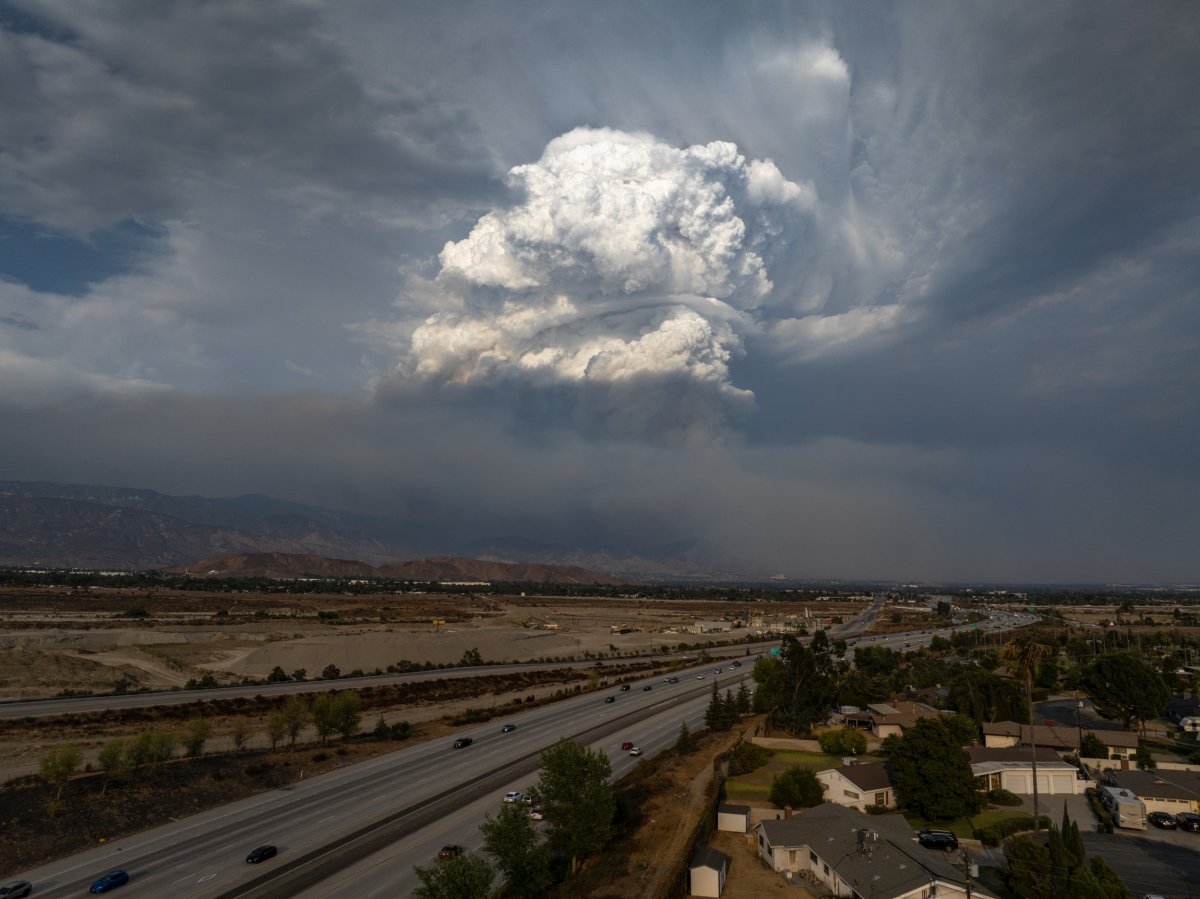
Getty Images
What To Know
The National Weather Service (NWS) is warning of “locally heavy rainfall” and the possibility of “flash flooding” across monsoon-prone regions through Sunday.
On Friday, the highest risk of precipitation is in Williams, Arizona, with a 77 percent chance, followed by Flagstaff on 63 percent. On Saturday, there is a 86 percent chance of precipitation in Williams, and an 81 percent chance in Flagstaff.
In New Mexico and eastern Arizona — areas currently suffering from prolonged drought— the rainfall could bring immediate relief. But the same storms could also overwhelm dry, compacted soil and trigger dangerous runoff.
According to the National Integrated Drought Information System (NIDIS), 97 percent of Arizona and 80 percent of New Mexico remain in drought, with many areas experiencing their driest 12-month stretch in over a century.
The monsoon season typically spans from mid-June to the end of September, with peak intensity in late July and August.
According to the National Oceanic and Atmospheric Administration’s (NOAA) June 30 drought status update, the 2025 season started on June 23 for parts of New Mexico and west Texas. Initial storms brought both relief and destruction, with heavy rainfall recharging soil and filling stock ponds, while also flooding roads and low-lying areas.
NOAA’s Climate Prediction Center forecasts that rainfall will continue to improve drought conditions near the Arizona-New Mexico border in the coming weeks. However, the agency warns that despite wetter than normal forecasts, drought conditions are likely to persist across much of the Southwest through the end of summer.
What People Are Saying
The NWS forecast office in Flagstaff, Arizona, wrote on X on Friday: “Plenty of moisture heading into the weekend. Storm chances improve each day, as temperatures get steadily cooler. If you don’t get a storm, wait for the next day. Storms may start to produce heavier rainfall over the coming days, increasing the potential for Flash Flooding.”
The NWS forecast office in Phoenix, Arizona, wrote on X: “A marginal risk for severe outflow winds near any thunderstorm is possible this afternoon and evening across the region. Showers and storms will favor higher terrain areas during the afternoon hours, with chances across the lower deserts increasing during the evening hours.”
What Happens Next
The NWS is monitoring the Southwest for continued monsoon activity through at least Sunday night, with flood watches issued in multiple counties.
Meanwhile, state and local agencies are urging residents to avoid driving through flooded roads and to monitor weather alerts closely.
Regular updates regarding storms and rainfall are issued by the NWS on its website.